What matters on a working ranch
Help the team understand livestock movement, paddock conditions and the state of remote water points. Keep fence inspections and equipment issues connected to a useful property map.
Who We Serve
Select your type of property to explore a practical scenario and the solutions that could support your team.
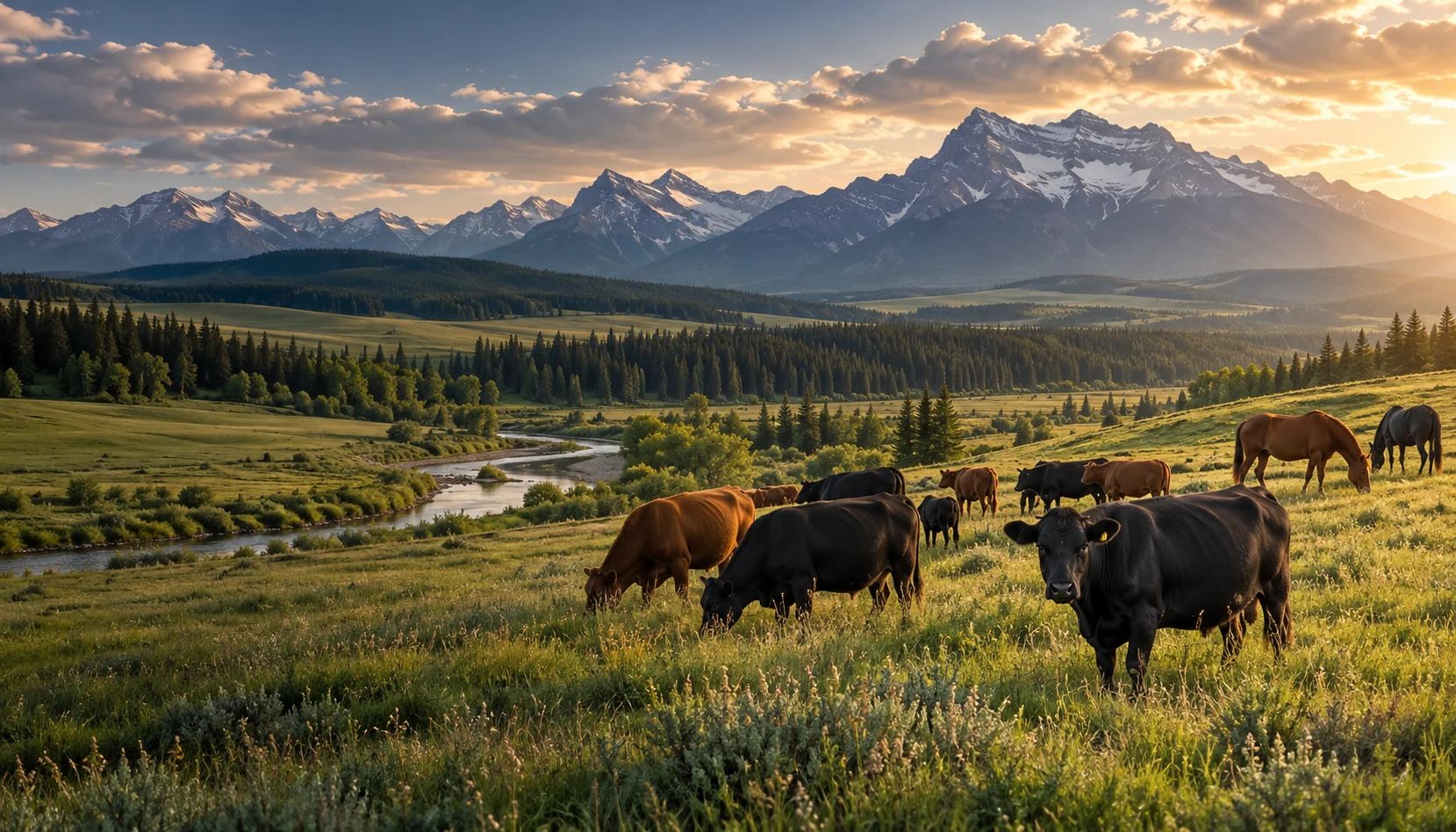
Cattle, pasture, water points and daily checks across large acreages.
Explore this operationHorse activity, paddocks, boundaries and facilities in one view.
Explore this operation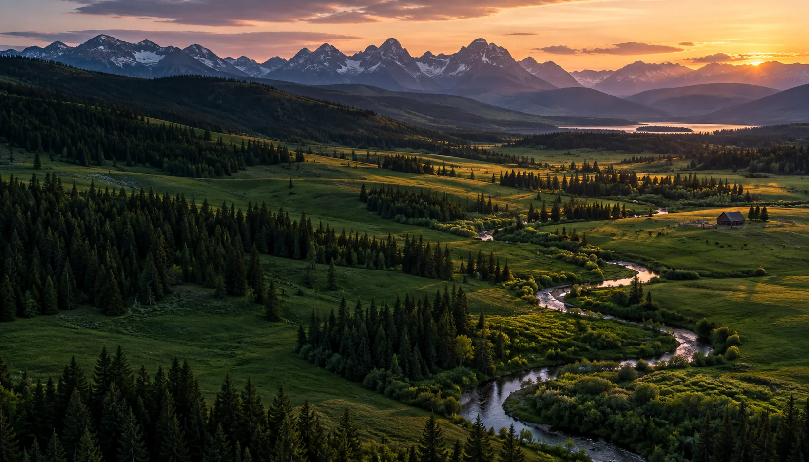
Vegetation, weather, waterways and environmental awareness.
Explore this operation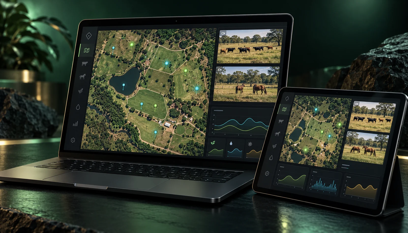
Visitor areas, trails, shops and shared spaces, with coordinated site response.
Explore this operationEach property starts with a different mix of animals, land, infrastructure and people.
Help the team understand livestock movement, paddock conditions and the state of remote water points. Keep fence inspections and equipment issues connected to a useful property map.
Staff begin with the locations needing attention. Managers review changes across paddocks and assign follow-up. Owners can see recurring issues and completed work in a concise operational report.
Connect compatible horse activity tracking, water points, perimeter observations and facility assets. Highlight changes that merit a welfare or maintenance check.
Coordinate routine checks and follow-up between field staff and site managers. Keep observations and actions together so a change in activity can be reviewed with its surrounding context.
Bring satellite and drone imagery together with local weather, soil and water observations. Compare mapped areas over time and identify places that need a closer look.
Create inspection tasks around a waterway, a vegetation change, an access road or a potential hazard. Managers can review the findings alongside the original observation and the asset history.
Bring trails, shops, parking, amenities and operational areas into a shared site view. Connect selected cameras and environmental observations to the places where staff need to respond.
Give visitor-facing staff, maintenance teams and managers a common incident record. Assign checks, communicate access changes and track follow-up during busy periods.
Tell us about your land and the way your team works.
Talk to Abjad