Follow a field observation through the platform, or explore how the application adapts to your operation.
SenseA wider view of the ground.
On the ground
Weather stations, soil and water sensors, livestock trackers and security cameras provide different views of the property. Device placement starts with the areas that matter: paddocks, water points, entrances, trails and vulnerable assets.
From the air
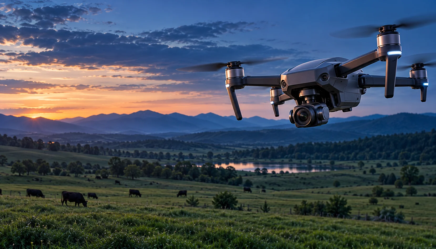
Drones provide targeted inspections while satellite imagery adds a broader view over time. Observations connect to the same property map, bringing field-level detail and landscape context together.
Connect the devices
A proposed IoT gateway or hub brings compatible devices into the platform. Connectivity can combine local radio networks such as LoRaWAN with cellular or site internet, selected after reviewing coverage, terrain, device needs and power.
The planned Google Cloud foundation receives device observations and imagery, keeps their location and time, and prepares them for analysis. The application shows recent readings alongside the history and the relevant map layers.
Reveal patterns with AI and ML
Models can help flag changes, group related observations and highlight areas for review. Staff see the evidence behind an alert and compare it with local knowledge before taking action.
Explore vegetation and water indices
NDVI adds a view of vegetation patterns. NDWI adds water-related context, depending on the imagery and index selected. Compare dates and mapped areas alongside field checks; imagery quality and acquisition time remain part of the picture.
Receive location-based tasks, review supporting observations and record photographs, notes and progress in the field. Keep each update attached to the incident or asset.
Site managers
Review alerts, set priorities, assign work and approve appropriate actions. Coordinate camera review, field inspection or a drone request from the same incident context.
Decision makers
Review summaries of conditions, incident trends and completed work. Use the reporting view to discuss priorities, maintenance needs and future monitoring investments.
Abjad’s platform-as-a-service vision provides a foundation for client-specific applications. Select the monitoring layers, map features, connected devices and workflows that fit the property.
Configure how people work
Shape permissions, alert thresholds, task routes and reporting around site staff, managers and decision makers. Give each role a useful view of the same operational context.
Grow in stages
Begin with a focused use case, review it with the team and extend the application as priorities become clearer. New layers and workflows can build on the shared property map and data foundation.